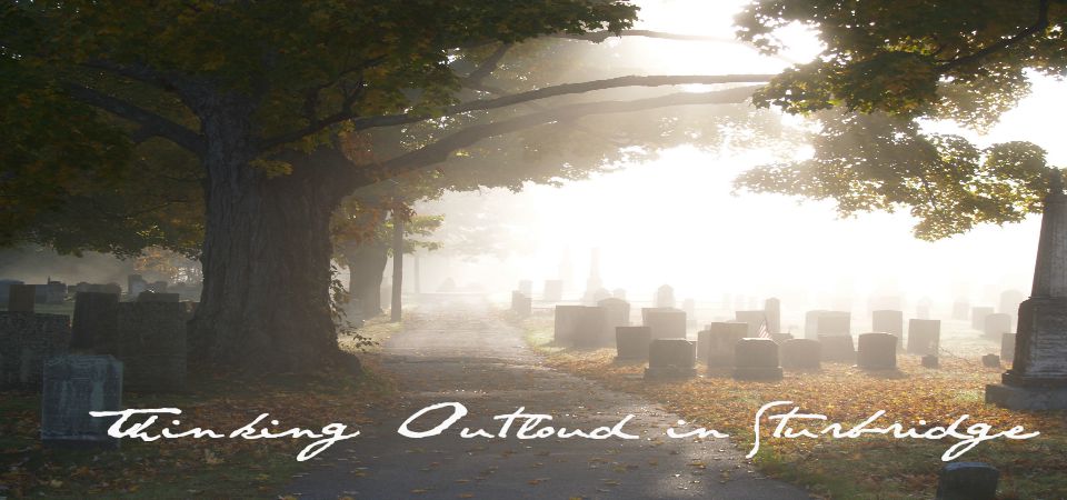
Green space and conservation land is among our many local treasures. Having saved land from development for passive, and active, recreational use is a fantastic achievement, and a great continuous goal to have.
In order to enjoy the land, beyond the high fives at the property closing, there must be access to the property that encourages all of the designed uses, and money to maintain the infrastructure needed for the land.
Trail heads for all conservation land that allows more then one vehicle to park safely, and well marked trails are essential. The Stallion Hill Property has parking for barely one vehicle, and it is a dangerous place to park
Every town owned property should be marked with a sign large enough to be read from the road. The sign should indicate the name of the property, and also direct people to parking. A master map, that is easy enough for a fourth grader to read, should be drawn, and available with each properties name, use, access point, restrictions (if any). Last map we have available is from 2005, and it is too complicated for the average hiker / walker to interpret.
There are properties in town that are not marked, or have a trail head, such as the town land off of Clarke Road. They are the Secret Places. Their existence is not made known, except on seven year old maps, because, well, someone might find them and use them, and how the heck can you preserve something that people are using?
Sorry, it's all I got; only reason I can come up with. It's probably way off.
The Heins property off Leadmine Road is a wonderful property with trails, and a large open meadow. Much could be done with this land, however access is only by trail, with parking on Leadmine Road. This is not a problem for those going for a bit of a hike / walk, but for families with small children that would like to enjoy the land, its views, and everything else it has to offer, it may be a bit much going in, and with a tired four year old, almost impossible coming out.
The Heins family owns the original home and barn at the end of the Shumway Hill Road, and public access is not allowed to their former property via that road. This would have been ideal had the town obtained an easement. Thus, a small matter limits the lands use. Think of all the activities that could be done on the land were there easier access.
Access, and signage are two things we need to work on for all town owned conservation land, otherwise it is unusable to most.
A couple of things for the to do list. Sometimes a little poke helps to get things moving.
Suggested Advertisement:
ReplyDelete"Lose yourself in the Sturbridge experience!"